Map It (Google Maps) in PAC
Using the JavaScript interface provided by Google Maps™, Polaris PowerPAC and Mobile PAC offer a Map It feature that provides a visual guide to the location of items linked to titles in the patron’s search results list. The Map It feature offers all the zoom, pan, satellite and map imagery available on Google’s hosted mapping site.
Note:
If the PAC browser session is run directly on the PAC server, the following domain must be open for Google Maps to work properly:
Port 80: maps.google.com
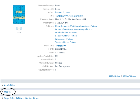
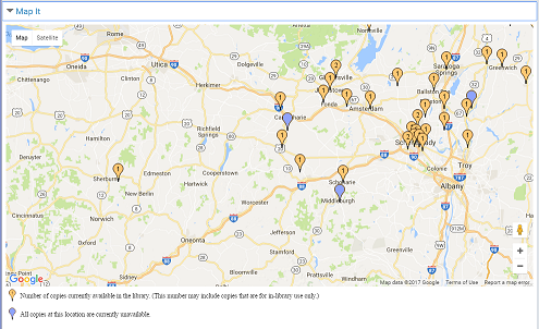
When the patron clicks or taps Map It in the title product page (full display), a map displays bubble markers for branch locations that have linked items.
Note:
For a description of the Map It display in Mobile PAC, see Title Link: Map It.
On a desktop computer, the patron can place the cursor over a marker bubble to see the branch name.
Click or tap the branch marker to see the branch’s address and hours.
When you click or tap Get Directions in the hours window, you can get directions to the branch from any address. You enter the address and click or tap Go!. (If the patron is logged in, the primary address from the patron record is already filled in for convenience, but it can be changed.)
Note:
No separate fees are required to enable Map It in Polaris PowerPAC, either by Google or Innovative Interfaces. However, to comply with Google’s terms of free use, the mapping feature must be accessible on the public Internet to any user; no private Intranet use is allowed without paying Google for the service. Also, public users of the service must not be charged any fee to use it. For details, see
http://code.google.com/apis/maps/terms.html
For general information about Map It, see:
For instructions on setting up Map It, see:
PowerPAC Map It Option Display
The Map It drawer is displayed for any title in a results set whose # system items count in the PAC brief display is greater than 0. For more information about # system items, see Configuring the PowerPAC Title Display. The Map It button does not appear for any title whose # system items is 0, even when Google Maps is enabled for the connection organization.
The PAC profile Suppress availability and requests also controls whether the Map It drawer appears. If the bibliographic record meets the criteria for suppression as specified in this profile, the Map It option does not appear. For more information about these settings, see Suppressing Request and Availability Options.
Marker Display
The map displays markers for every branch that has at least one item for that title (that is, # local items is greater than 0). Default markers for branches that have items that are currently in are orange and display the number of copies in, while blue markers indicate branches that have no copies currently in. “In” is defined using the same rules that govern the # local items in count in the PAC brief display (see Configuring the PowerPAC Title Display). Non-circulating items are included in the availability counts, so an orange marker does not necessarily mean that an item can circulate outside the library. A text key explains the meaning of the markers.
You can edit the explanatory text and the label on the Map It “drawer” itself with Polaris Language Editor (WebAdmin). Polaris provides a set of stock marker images in /Themes/Shared/Map/Pins/, so you can specify different marker shapes and colors.
Hours Display
When the patron clicks a map marker, details about the availability counts at that branch as well as address, phone, and hours open that day are listed. The details window uses the settings for the Polaris PowerPAC Hours page. For details, see Set Polaris PowerPAC features on the menu bar.